Tegar
Geospatial Web Platform Live

Selected work / 02

SIPETA

SIPETA (Sistem Informasi Pemetaan Potensi Lahan Pertanian)

A spatial decision-support platform that makes agricultural land potential easier to map, inspect, and communicate.

Project signal online
SIPETA (Sistem Informasi Pemetaan Potensi Lahan Pertanian)
Scroll to explore

01 / The brief

A product with a clear job to do.

SIPETA translates agricultural land-potential data into a web experience that is useful beyond raw tables. The platform brings maps, structured information, and project context into one Laravel-based interface for clearer exploration and decision support.

Role
Full-stack Developer
Engagement
Research platform
Year
2026
Type
Decision-support System
Status
Live

02 / Build log

From problem space to working product.

01

Context

Finding the real constraint

Land-potential information is difficult to act on when spatial context and supporting attributes live in separate formats. Users need to understand both where an area is and why it matters.
02

Response

Shaping the system

The platform combines a map-led information architecture with structured Laravel data flows. Important layers and records are presented in a responsive interface so users can move between geographic and descriptive context.

03

Impact

What the work unlocked

SIPETA provides a clearer digital surface for communicating agricultural land potential and creates a foundation that can grow alongside new datasets and research needs.

03 / Toolkit

The tools behind the experience.

Technology was chosen around the job: fast interaction, clear information, and a codebase that remains practical to extend.

01 Laravel
02 Web Development
03 Maps Integration

04 / Visual system

The interface, framed as an artifact.

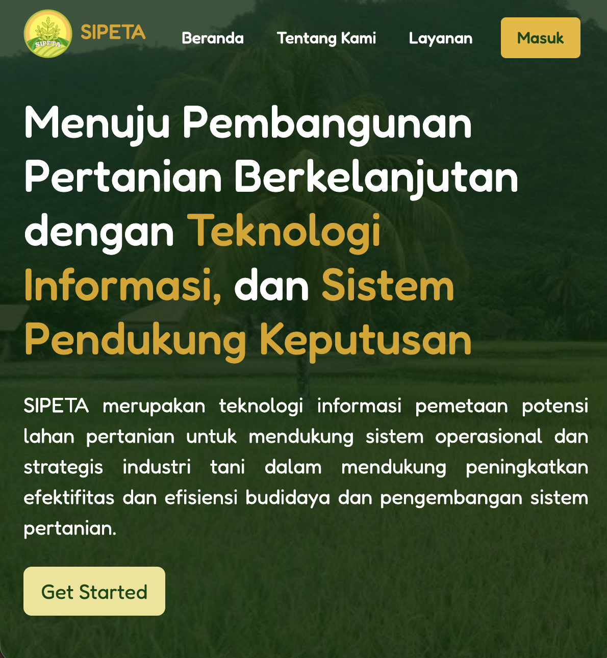
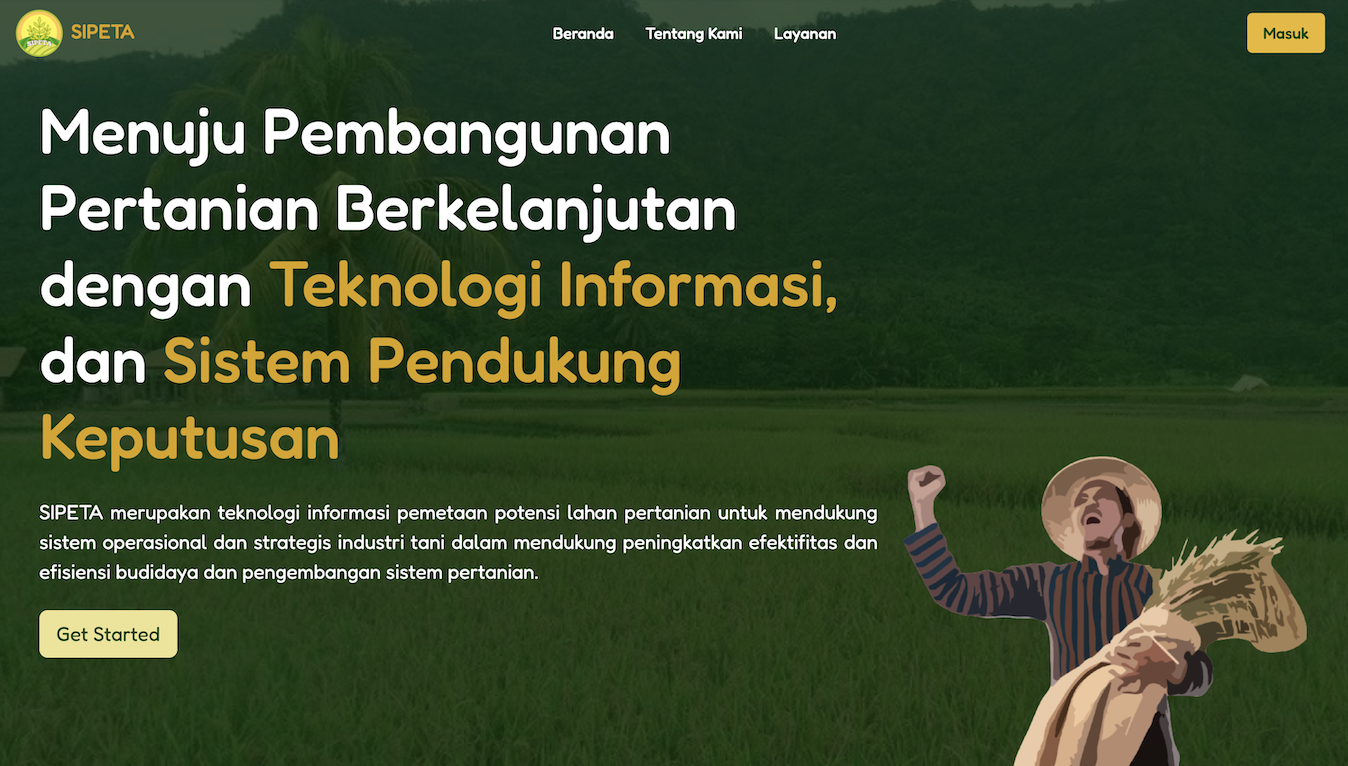
A closer view of the product surface, presented without copying the reference layout.

05 / Contribution

The parts I moved forward.

A concise record of the decisions, systems, and delivery work behind the final product.

  1. 01

    Developed the Laravel application and responsive interface

  2. 02

    Structured agricultural land-potential information for the web

  3. 03

    Connected spatial exploration with supporting project data

  4. 04

    Delivered a live platform for research communication